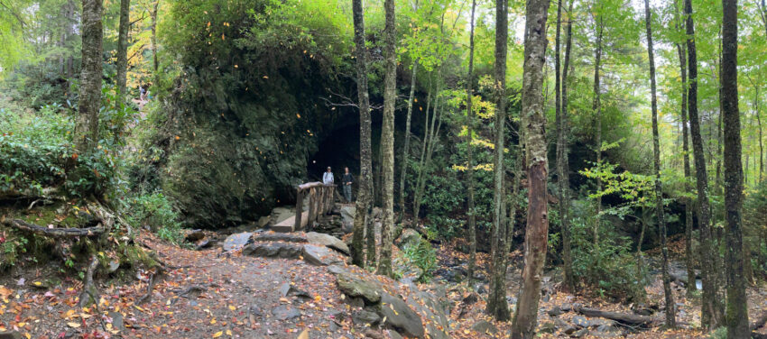
Hiking in the Smokies
The Great Smoky National Park is a big place, one of the largest in the US, approximating 522,427 acres, and split almost evenly between Tennessee and North Carolina. It is apart of the Appalachian Mountain Range, which are one of the oldest mountains on Earth.
I’ve had a hankering to go to the Smokies for several years now and we finally set aside the time to do just that. The Smokies was on my bucket list because much of the forest ecosystem in the park is over 100 years old and I wanted the opportunity to see a more aged forest with tall old trees, vibrant colors, a more diverse understory, you know a change from the standard young tree growth we typically see. I guess it’s an odd desire but it happens when you’re a Conservations at heart. It’s a little hard to appreciate until you see it but the Smokies were beautiful and did not disappoint.
On this hiking trip we decided to concentrate some of the best waterfalls and summits within 20-30 min of Gatlinburg, mostly on the east side of the National Park. There’re so much to see, this list isn’t a comprehensive list of all the best hikes, but it’s still a great starting point to get to know the Smokies.
Prepping for the Trails
Maps
As always it is recommended to have a map handy for the trails. For the Smokies, we recommended the two following maps:
- National Geographic Trails Map 229: Great Smokies Mountain National Park
- National Geographic Trails Map 1702: Great Smokies National Park Day Hikes
The DayHiking map isn’t necessary but alot of the hikes we picked were in there, and it offered a really easy look up to the hiking trails. If you do want both maps above, then you can save a few bucks by getting the bundle pack on Amazon Map Bundle Pack
Crowds: In case you haven’t heard the Smokies has been getting pretty crowded lately, to the point where the parking lots, and the overflow parking lots are filled up pretty quickly. Of course we still recommend going! But we just recommending hitting the trails early, 8 or 9 a.m. or even earlier light permitting, to get easy parking, and enjoy the outdoors with a little bit more peace on the trails.
Best Waterfalls near Gatlinburg TN
Grotto Falls – Trillium Gap Trail
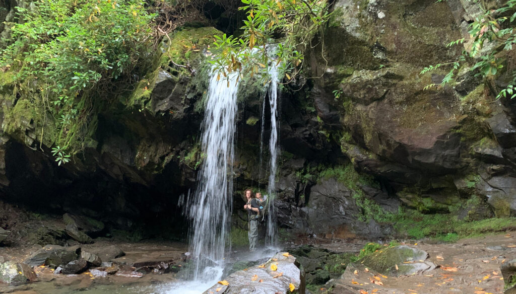
This is a great short and easy-moderate hike, approximately 2.5 miles round trip up to Grotto Falls. The Grotto Waterfall it a beautiful little, 25-foot, waterfall that is the only waterfall in the Smokies that you can walk behind.
The trail up to the waterfall is actually following along Trillium Gap trail. Once you reach the waterfall, the trail will continue going up to Brushy Mountain. If you do choose to continue on the trail we would highly recommend taking the map (we will always have a map irrespective of how popular or easy a trail is). Most will choose to turn around. </p>
The National Park has beautifully organized the drive up to trailhead of Grotto Falls along the Roaring Fork Motor Trail. It’s hard to get lost, and all normal vehicles (excluding buses, RVs, etc) can reach the trailhead. However, the roads/trails are closed in the winter, so check the National Park website to confirm it’s open.
One last thing, we do think this hike is pretty family friendly. It is easy for kids to hike, and toddlers as well can hike alot of the way up. This hike does have a little elevation gain so just be prepared for toddlers to tucker out but the whole thing is safe and really hikable.
Rainbow Falls
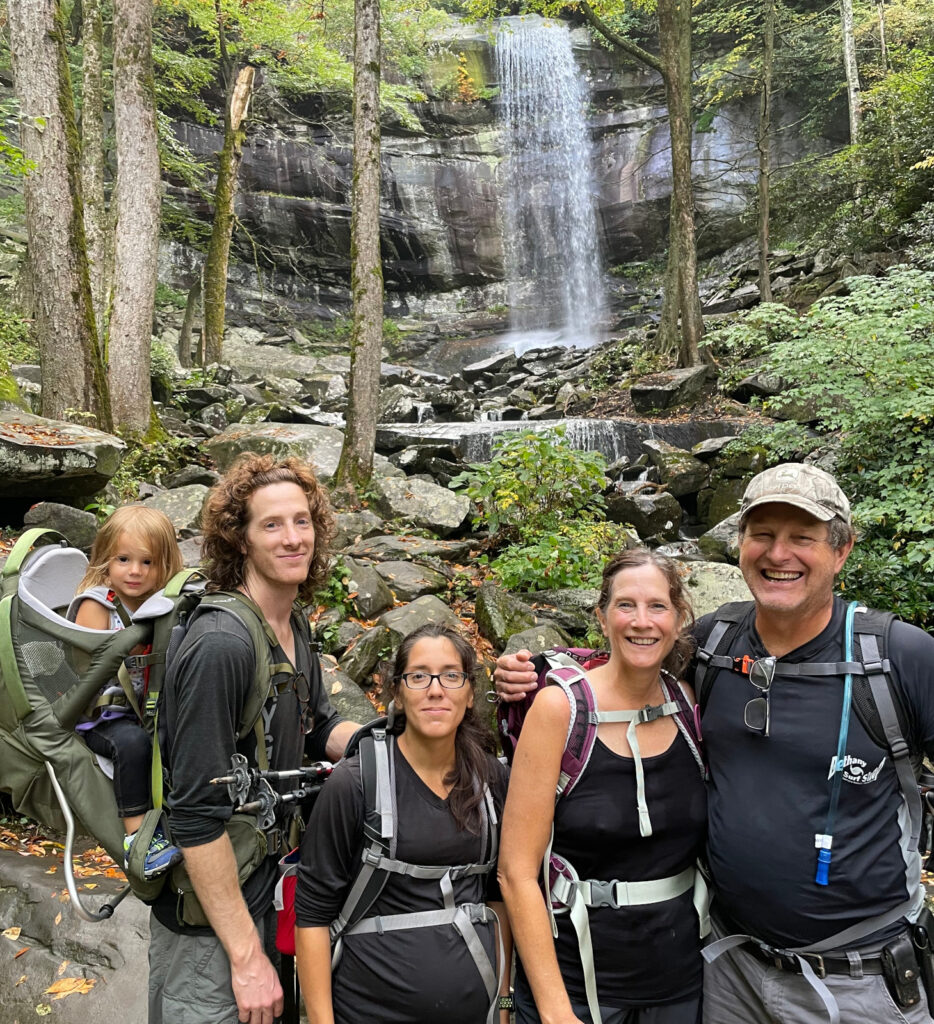
This is a 5.1 mile moderately-strenous trail up to Rainbow Falls.
The first portion of the trail follows along the LeConte River, with beautiful views, and small cascades along the way. I honestly think the first half of the trail was way more beautiful the the second half of the hike to Rainbow Falls. Extremely green and cool with the river and old forest tree cover. But the overall hike did not disappoint, on the second half of the trail, you leave the river behind and start to head up the mountain more towards the falls. You’ll hit one small waterfall on the way up so don’t be fooled. It’s a good spot to take a quick break, before heading about 3/4 mile up to the actual Rainbow Falls.
This more strenous than Grotto Falls for sure. Our toddler was able to comfortably hike the first couple of miles before tuckering out, but there weren’t any major tricky spots that older kids couldn’t accomplish.
Lastly, the drive up to the trail is also very easy or organized like Grotto Falls. Similarly, Rainbows Falls is super close to Gatlinburg, and extremely popular so we recommended arriving early before all the crowds and the parking lot fills up fast.
Porter’s Creek Trail

This is a 7 mile trail out-and back, however if you just go to the waterfall then it’s about 4.5 miles slightly-moderate out-back trail.
We picked Porter’s Creek Trail because it has some historic features along the trail, follows along a river for a majority of the hike, has a very cool bridge crossing, and very family friendly. The hike is formally classified as a easy-to-moderate. The main feature that made the hike moderate was basically the gradual elevation gain on the trail as you follow along the river for a majority of it. The trail itself is easy an to follow, wide, old logging road, so no real major difficult crossing or narrow points in the trail. The primary major difficult point in the trail is the bridge crossing but I also thought the best part of the trail. The crossing is long, and narrow, be careful with toddlers/infants for sure. Once you cross the bridge, the last small portion of the hike up to the waterfall gets a little steep and rocky. Some older parents chose to turn around and head back down the trail, and I personally found the waterfall was a little disappointing.
All in all though, it nice to have a hike where everyone on the trip could go out, meander at their own pace and enjoyed the outdoors.
Best Trail to the Summit near Gatlinburg TN
Alum Cave to Mount LeConte
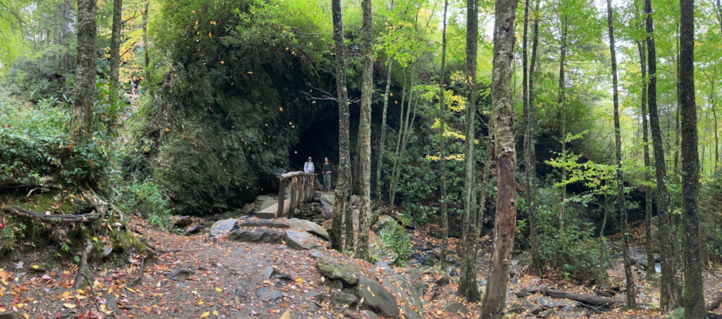
This is a strenous 10 mile round trip that will lead you to the top of Mount LeConte, with 3 additional landmarks to look forward to along the way. Monte LeConte itself is the tallest Peak in Tennessee, and this trail to the summit is the shortest/most strenous way up! Pretty exciting stuff, why would anyone want to do that? Because challenges are fun, it’s a great way to see all diverse ecosystems in the park, and the summit has some of the best view from the park.
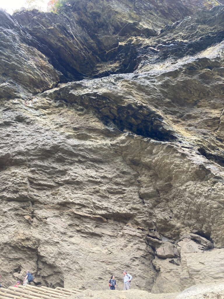
At around 1.5 miles is the Arch Rock landmark which is a really beautiful through cave structure that the trail passes through. Continuing up the mountain at around 2.3 miles you will reach the Insipiration Point which offers great views of the Smokies. We would highly recommend to take a quick water break and get some photos. Soon after reaching Inspiration Point you’ll hit the Alum Cave Bluffs, which is a pretty amazing cave/overhang with very characteristic orange clay/powder. It’s pretty cool. Up to this point I think older kids with enough energy can reach the Bluffs. But once you reach this point the hike becomes really strenous, and difficult.
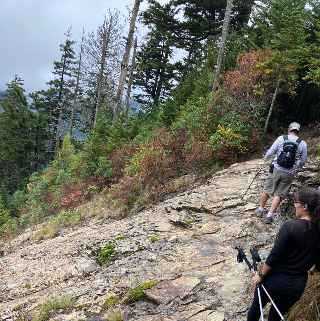
As you head for the top of Mount LeConte the trail will soon get rocky, and there will be several points (like a lot I lost count) where the trail has edgy/narrow cliff crossings and cliff lines for safety. In the rain it’s pretty slippery, and these crossings are namely why I wouldn’t consider this hike to be kid or toddler friendly. When you finally reach the top of Mount LeConte the elevation gain will stop, and you’ll pass through the Fraser Firs before reaching the Mount LeConte Lodge. At the lodge you can stop and use the restrooms before continuing up to the summit for the view. Unfortunately for us the weather had turned, we were expecting it, but didn’t get to take in the great views from the summit.
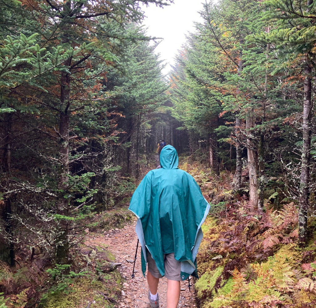
The weather in the fall can change very rapidly with the changes in elevation, so be prepared. We highly recommend having proper hiking shoes, rain gear, poles, plenty of water/snacks, and plenty of time. We were able to complete the hike in approximately 5 hours, and thought it was 100% worth while.
Clingman’s Dome
Everyone really knows about Clingman’s Dome. This is the highest point in the National Park, but is literally on the border of both Tennesse and North Carolina. The drive up to Clingman’s dome is very scenic, there are plenty of overlooks on the drive up to pull over for some photos. This is isn’t much of a hike per-say but it’s still worth going up there early for the views. From the parking lot you can walk up to the Observation Tower, which is a steep, paved walk to get a good 360 view of the park, weather permitting. There are also multiple trailheads to the Appalachian Trail and Mountain-to-Sea trail. If you’re up for it, the hike to Andrew’s Bald is suppose to be worth it. We talk about a little more in the Bucket List below.
Bucket List of Hikes in the Smokies
We were not able to hit all the hikes we wanted on this trip. So we just wanted to leave a bucket list of trails we want to hit up when there’s time.
- Ramsey’s Creek Trail: This is one of the most difficult trails in the Park – 8 miles , very strenous and difficult, supposedly the oldest trees in the Park are along the path, and ends with tallest waterfall in the park. Due to the difficulty, the trail is generally not too crowded and super beautiful.
- Clingman’s Dome to Andrew’s Bald – Forney Ridge Trail: Clingman’s dome is smack in the middle of the Park and about an 1 hour drive time from Gatlinburg or NC. I figured if I’m going to spend all the time to drive to the top may as well make best of the time up there. Andrew’s Bald is suppose to be a moderately stressful hike, about 3.5 miles round trip. When you reach the balds, it supposedly has amazing views, and makes for great pinic spot. We didn’t get a chance to do the trip but hoping to find time to do with the family.
